Dublin, Ireland

Lead: UCD

Context

Dublin is the capital and largest city of Ireland. Originally a Viking settlement, the city is situated on a bay at the mouth of the River Liffey on the east coast of Ireland.

The Dublin CCLL will focus on Dún Laoghaire on Dublin Bay (Irish Sea), with 218,000 inhabitants and 19 km of coastal length.
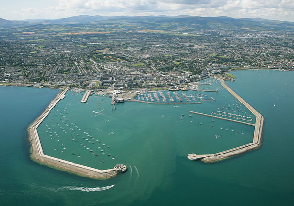
dl harbour piers

Challenges and risks

  • Coastal flooding: one of the two main public transport train lines, the 'DART', operates along the coast and is regularly flooded during storm events, putting the transportation system at great risk
  • Flooding of the coastal water pumping stations and water treatment plant exposes poor water quality in the area which is a danger to local swimmers and to the natural environment.

Planned Ecosystem Based Approaches (EBAs)
  • Further testing and improving by linking with smart technologies of two existing EBAs in place in Dún Laoghaire (Booterstown Marsh and at Dalkey Island saltmarsh) on the south shore of Dublin Bay will be done by SCORE. These locations are designated Special Protection Areas (SPAs) for roosting tern species (ongoing intervention by the local governmental body)
  • Landscape planning for public parks which is currently being reviewed (ongoing intervention by the local governmental body)
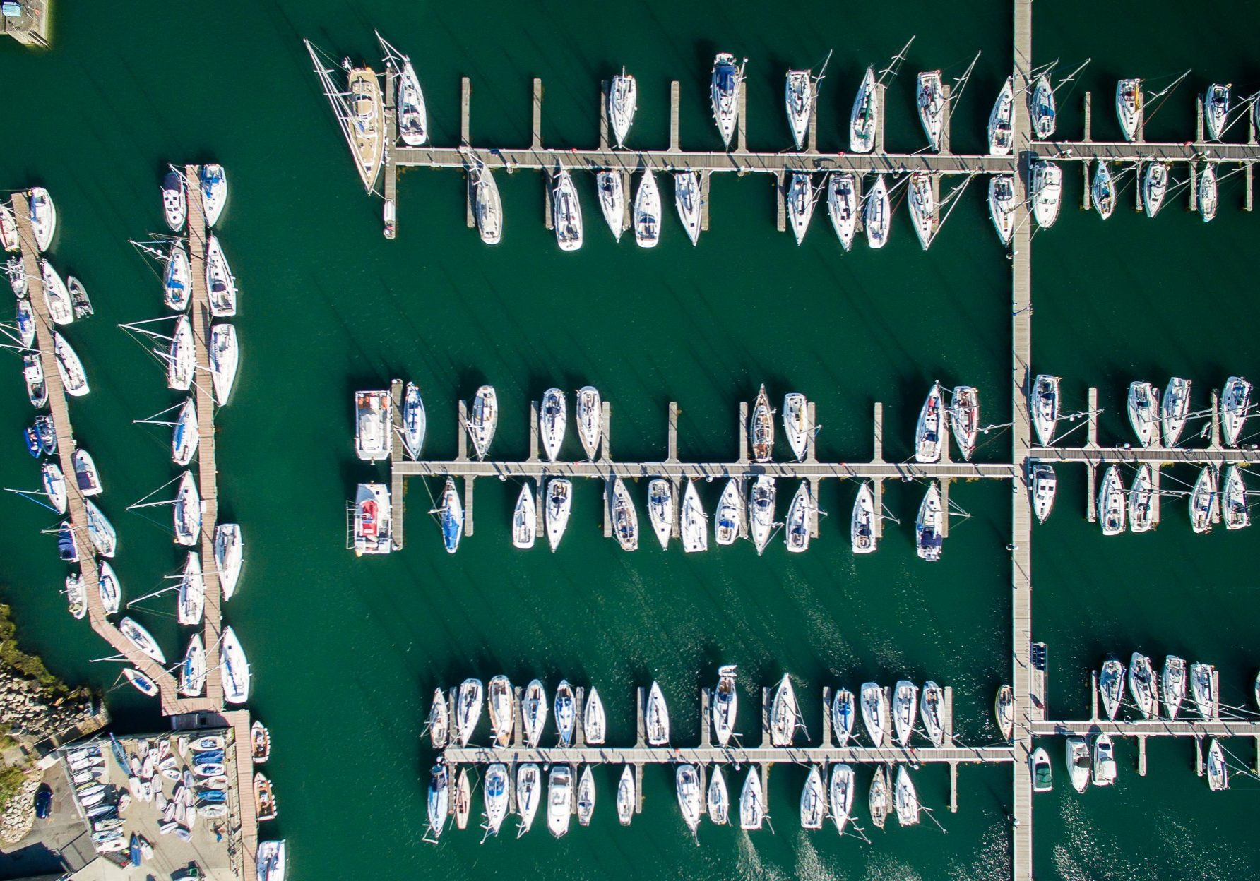
dlr_dl_pier_drone_stills-4

Dublin's GeoStory

SCORE's Geostories are dynamic pages designed to showcase local activities in our CCLLs. They are regularly updated by our project team and provide the latest information for local and regional stakeholders.

The other CCLLS

SLIGO
Ireland

OEIRAS
Portugal

BENIDORM
Spain

PROVINCE OF BARCELONA / VILLANOVA I LA GELTRÙ
Spain

BASQUE COUNTRY
Spain

GDANSK
Poland 

PIRAN
Slovenia

SAMSUN
Turkey

MASSA
Italy